Today I needed some distance so I chose a trail that is popular but I’ve never been on before, and yet so close to home. The PCT from Snoqualmie Pass to Windy Pass.
Last week was Mt. Catherine from a trailhead close to the PCT, a 4.5 mile drive from the Hyak exit on I-90, and when I finished the hike and was ready to drive down, I first continued up the forest service road and turned around at a parking area and junction with the PCT. My goal today was to hike to this point.
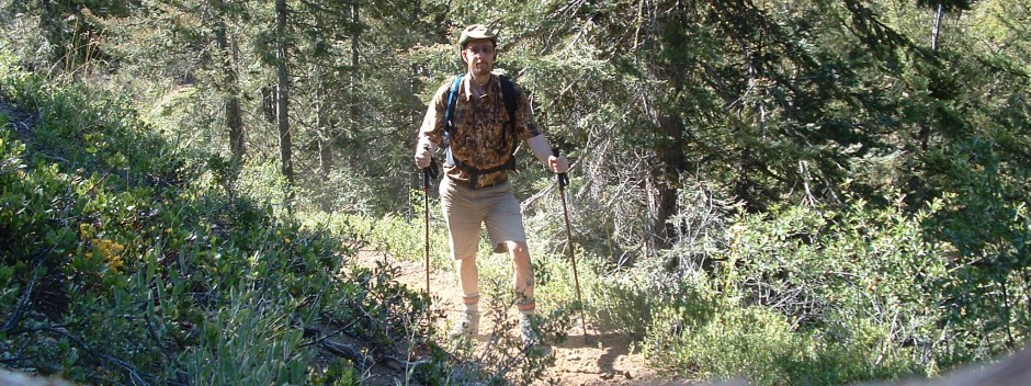
I left home about 7:15 after a big bowl of oatmeal with fresh picked blueberries. I’m pretty sure that gave me the energy I needed for this hike. I started hiking at the trailhead at 7:50 and gently eased my way up under the Snoq Pass ski area.

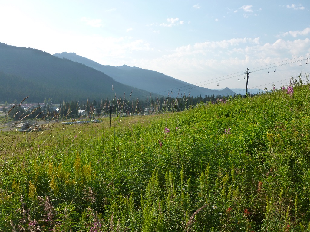


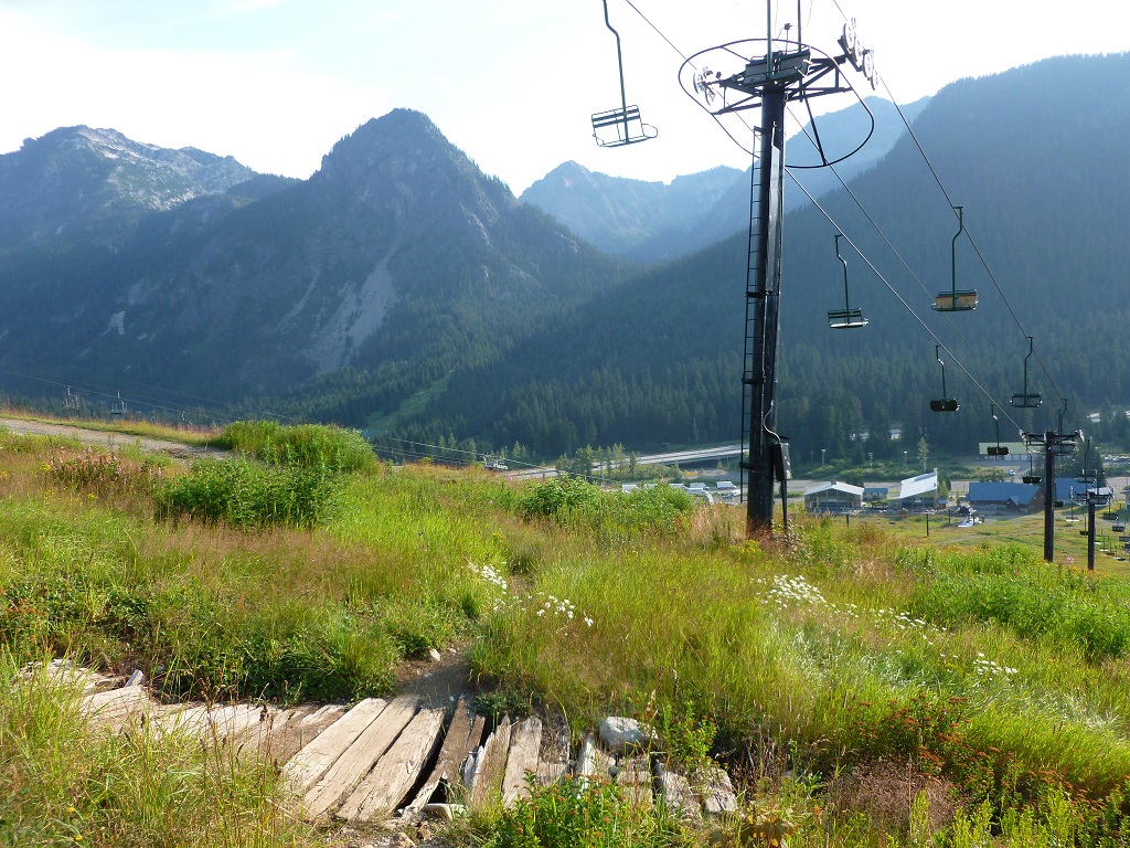
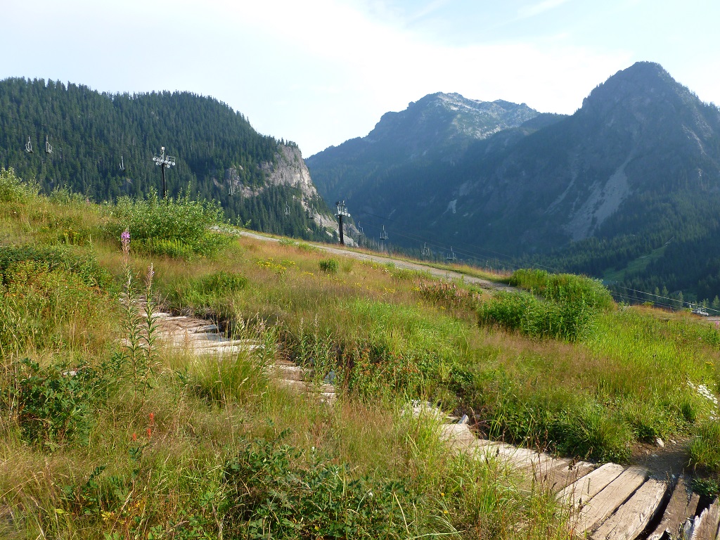


This trail has gentle grades both up and down, nothing too steep or difficult. Once I got to the upper end of the Snoqualmie Ski area, it started heading gently down hill. Lodge Lake is the first destination about 1.8 miles in. There were hikers coming out from there and people still camping in that area as I went by.
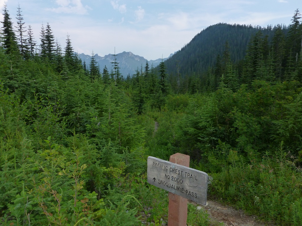
At 2.5 miles I took a photo of a sign below. Then at 2.8 miles I was on top of the Snoqualmie Tunnel looking down. I have hiked thru the tunnel several times now. This is the first time I’ve been above it.

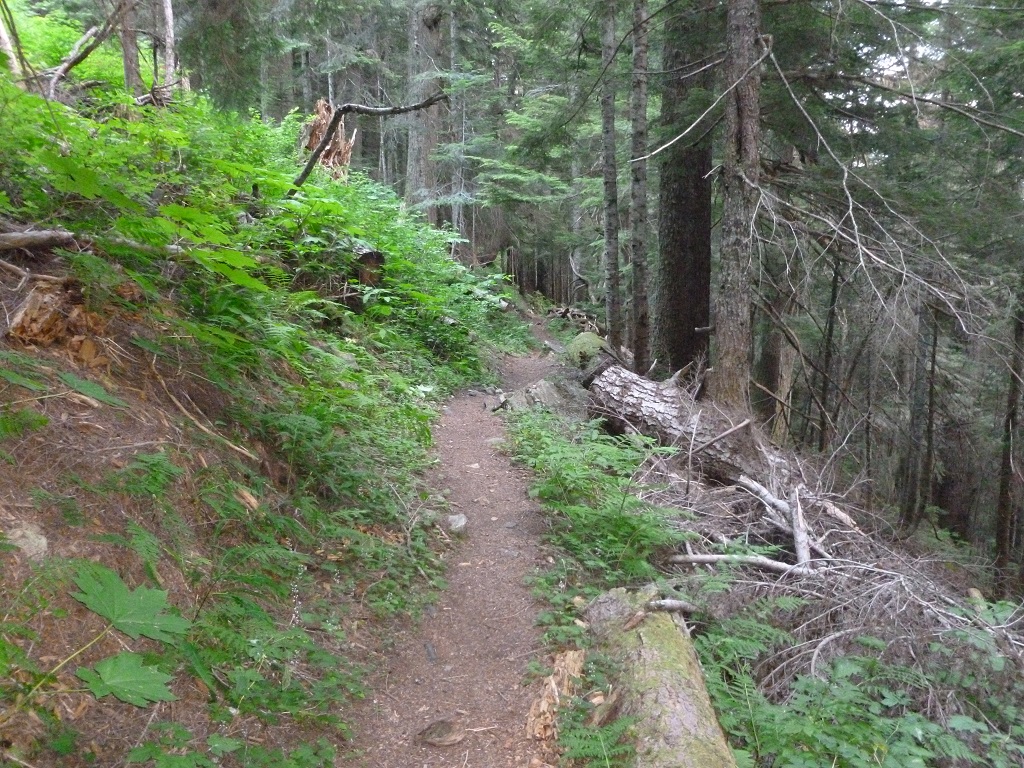


After a few photos, I still had lots of energy, so I continued on. The grade was gentle both up and down in areas, but some places the undergrowth was heavy and wet. I was whacking the brush with my hiking poles to get the dew off before I passed it by, but my legs were still getting wet.
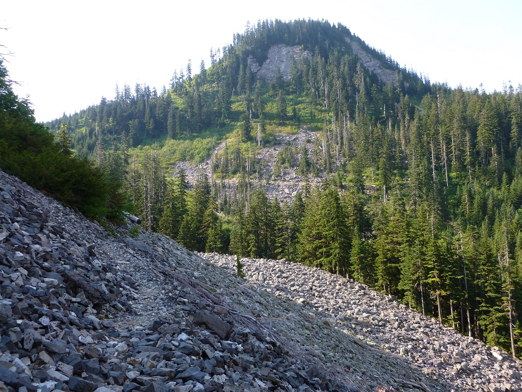
Pretty soon I was at a talus field.

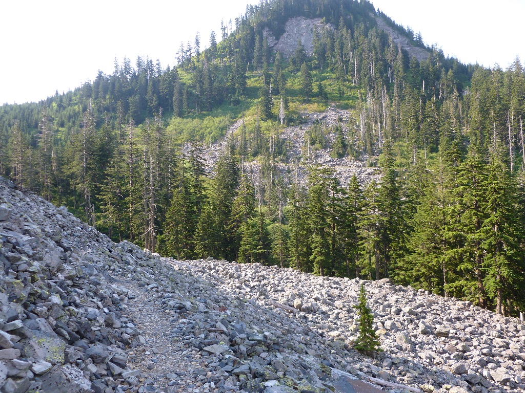
Then around the other side of it.

I was starting to run into more hikers about this time, some were picking wild blue berries(I found a few myself), and then I ran into a couple of forest rangers heading to Snoqualmie Pass. They seemed to be taking it slow with lots of conversation.
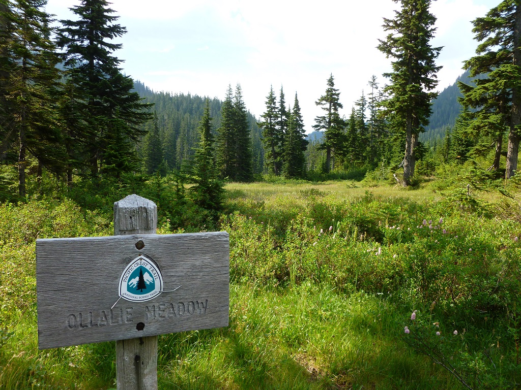
I arrived at Ollalie Meadows at 9:45 which was the most pleasant area to hike thru. It was the 5 mile point.
It was only about 1/2 mile from here to the PCT parking junction. I finally arrived there about 1015am.

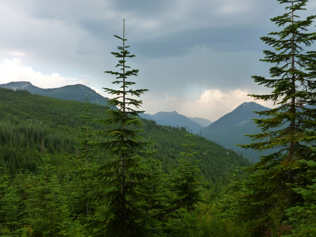
I continued on the forest service road for another 1/4 mile to find a quiet area to relax and have my sandwich. Once I found a good place to stop, it was only about 15 minutes before dark clouds started forming and thunder was heard in the distance. Rather than rest more, I decided to head back right away, as I didn’t want to get caught out in the open during a rain or thunderstorm.
I did get rained on a little, but the heaviest rain came while I was in thick forest so I didn’t get too wet. Fortunately. I was able to snap these photos of the clouds over the nearby mountains.

On my way back I eventually caught up to the forest rangers with about a mile left to the truck, and they clearly were taking their time and stopping to chat with both themselves and other hikers.
I was back at the truck a little after 12 noon, so a total of 11.8 miles in 4.5 hours is pretty good in my opinion. I didn’t feel like I was rushing it either. What a great hike.